Building Capacity during OSMGeoWeek
Nov 11, 2018 | By Fidel Nyameke
Geographic Information Science (GIS) Day was organized by the Geography Department, University of Ghana. OSM Ghana joined the department to commemorate the day and also to lead a session in mapping with OpenStreetMap: the free and openly editable map of the world.
OpenStreetMap Ghana supported YouthMappers at University of Ghana to build their capacity by training students from the Geography Department and some selected Senior High Schools within the country as part of the activities for the day.
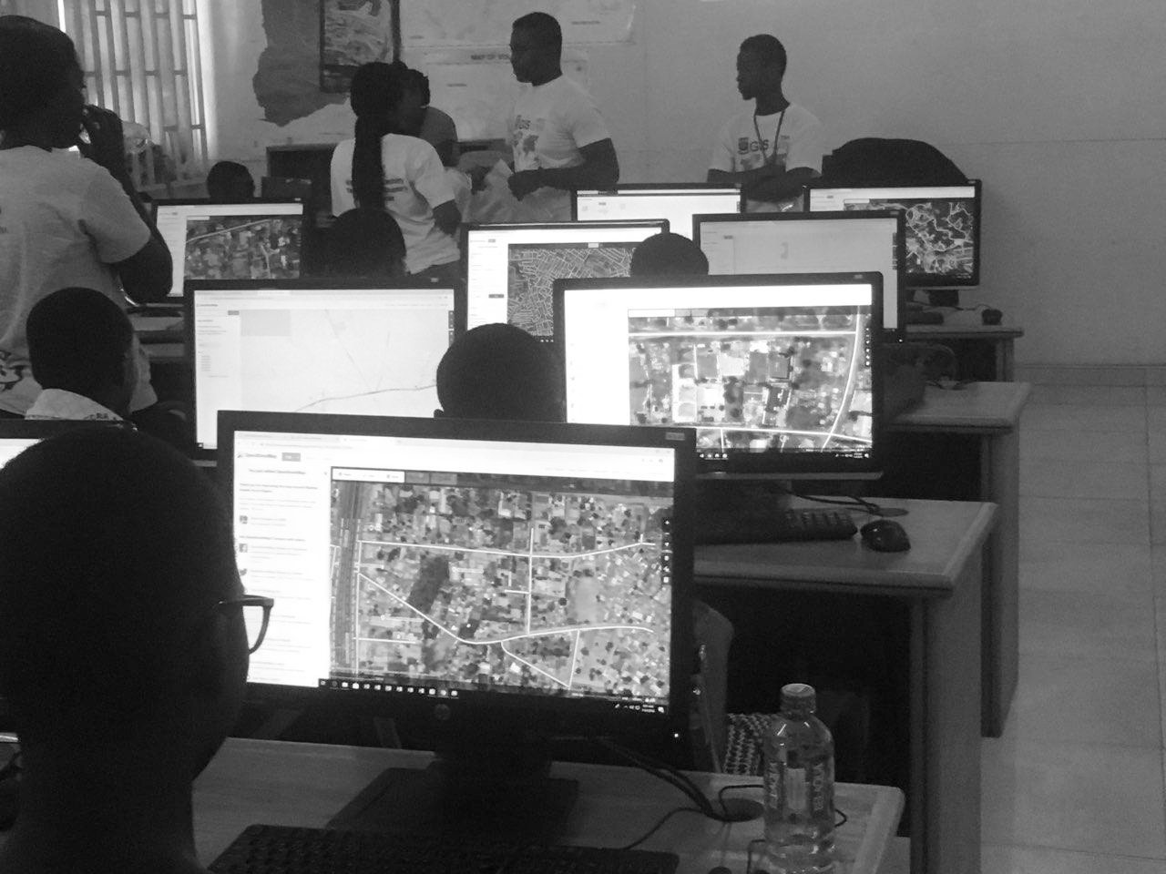
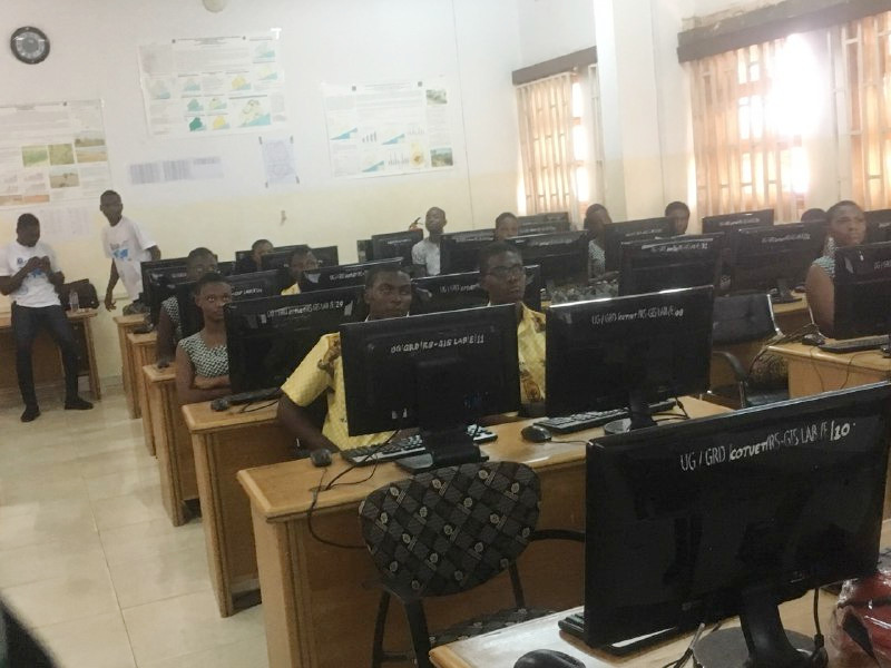 High School stdents mapping using iD editor in RS/GIS Lab
The training was carried out at RS/GIS lab - Geography Department to introduce the students to OpenStreetMap and mappng with iD editor to map their various communities. We taught the students how to search, find places and how to map buildings. We had 7 sessions with almost 40 students per session. At the end of the training students were able to map a building and tag them building with little or no supervision.
This training also forms part of the Open Cities Africa (Accra) project in building capacity and making persons aware of participatory mapping for disaster resillience.
The students and Head of Department appreciated our efforts. OpenStreetMap Ghana community is always very grateful to the department for it’s continous support for mentoring high school students in geography and its related fields.
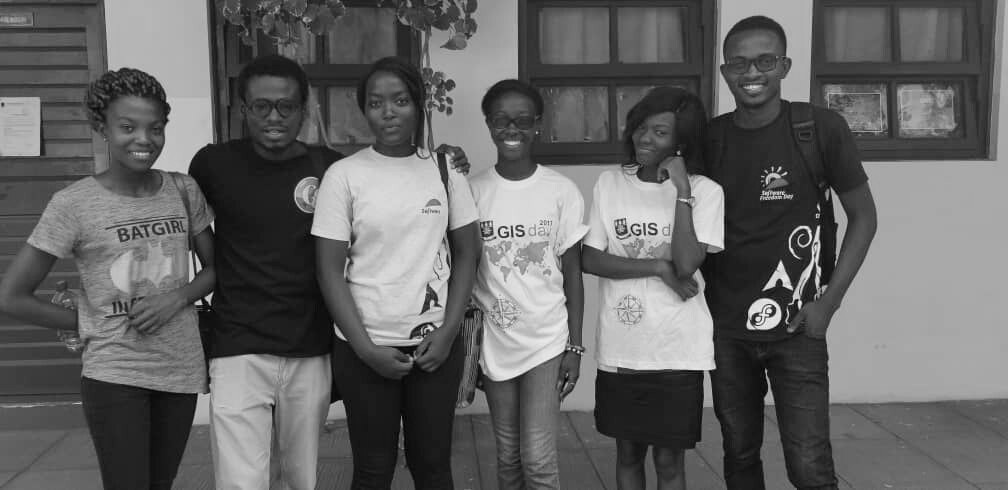 OSM Ghana members and students after training
Thanks to all volunteers from OSM Ghana; Enock, Angela, Maame, Tracy, Fidel and YouthMappers University of Ghana.